
Introduction
The map on the OneView dashboard provides a real-time visual overview of your project, including monitoring locations, live measurement data, and wind conditions. It’s a powerful tool for understanding air quality trends in spatial context. This section of the guide explains how to use the map effectively -covering how to view and filter data, adjust map orientation and display settings, and interpret wind speed and direction when available.
-
-
Click the information icon (ℹ️) in the top-left corner of the map panel to open the map legend.
-
The legend provides an overview of what’s displayed on the map and how to interpret key features.
-
-
-
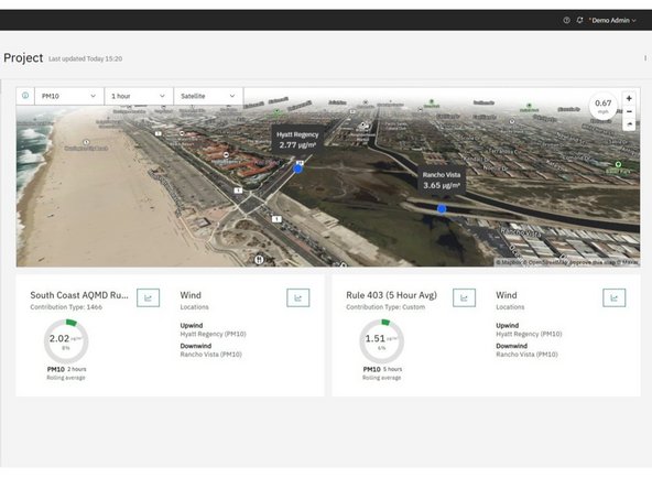
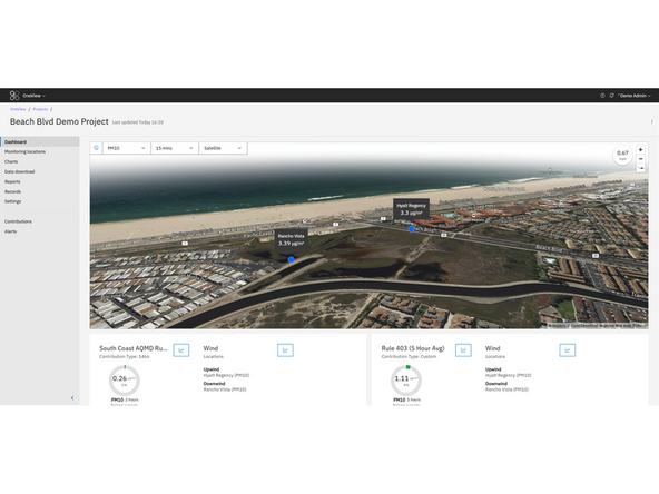
Use the map type dropdown at the top right of the map to switch between available base map styles.
-
Choose between:
-
Satellite – Aerial imagery for real-world context
-
Street – Simplified layout with streets and landmarks
-
-
-
Pan: Click and hold the left mouse button while dragging to move around the map.
-
Zoom: Use your mouse scroll wheel or the + / – buttons in the top-right corner of the map.
-
Tilt and Rotate: Hold the right mouse button and move your mouse to change the camera angle and orientation.
-
Reset Orientation: Click the compass icon (below the zoom controls) to snap the map back to its default north-up view.
-
-
-
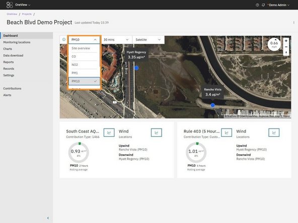
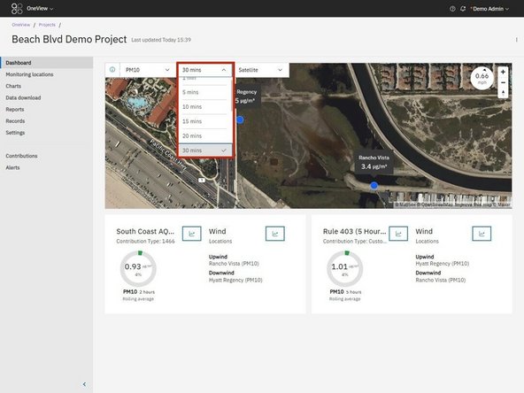
Use the dropdown menus at the top of the map to adjust what data is shown:
-
Channel Selector: Choose the measurement channel (e.g., PM10, PM2.5).
-
Averaging Period: Select the time interval for the data (e.g., 5, 15, 30 minutes, 1 hour).
-
Once selected, the map updates to display the latest data values for each monitoring location based on your filter criteria.
-
-
-
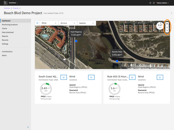
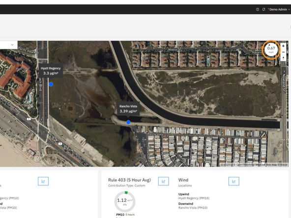
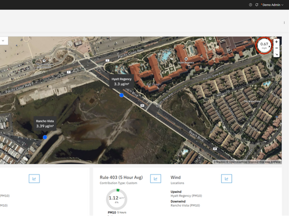
The Wind Speed and Direction widget is located in the top-right corner of the map and displays data when a compatible meteorological sensor is active within the project.
-
The numeric value shows the wind speed, and the arrow shows the direction the wind is blowing.
-
Wind speed uses the same averaging period as the selected map data.
-
The arrow rotates automatically with the map orientation.
-
⚠️ Note: If the map is tilted too far, the directional arrow may disappear. To restore it, click the compass icon below the zoom buttons to reset the map orientation to the default north-up view.
-


For further support, contact Aeroqual Support.
For further support, contact Aeroqual Support.
